Two Copenhagen Harbour Walks with an Easy Way Back
Company-authored guide. Sources and their check date appear below; no independent or first-hand review is claimed.
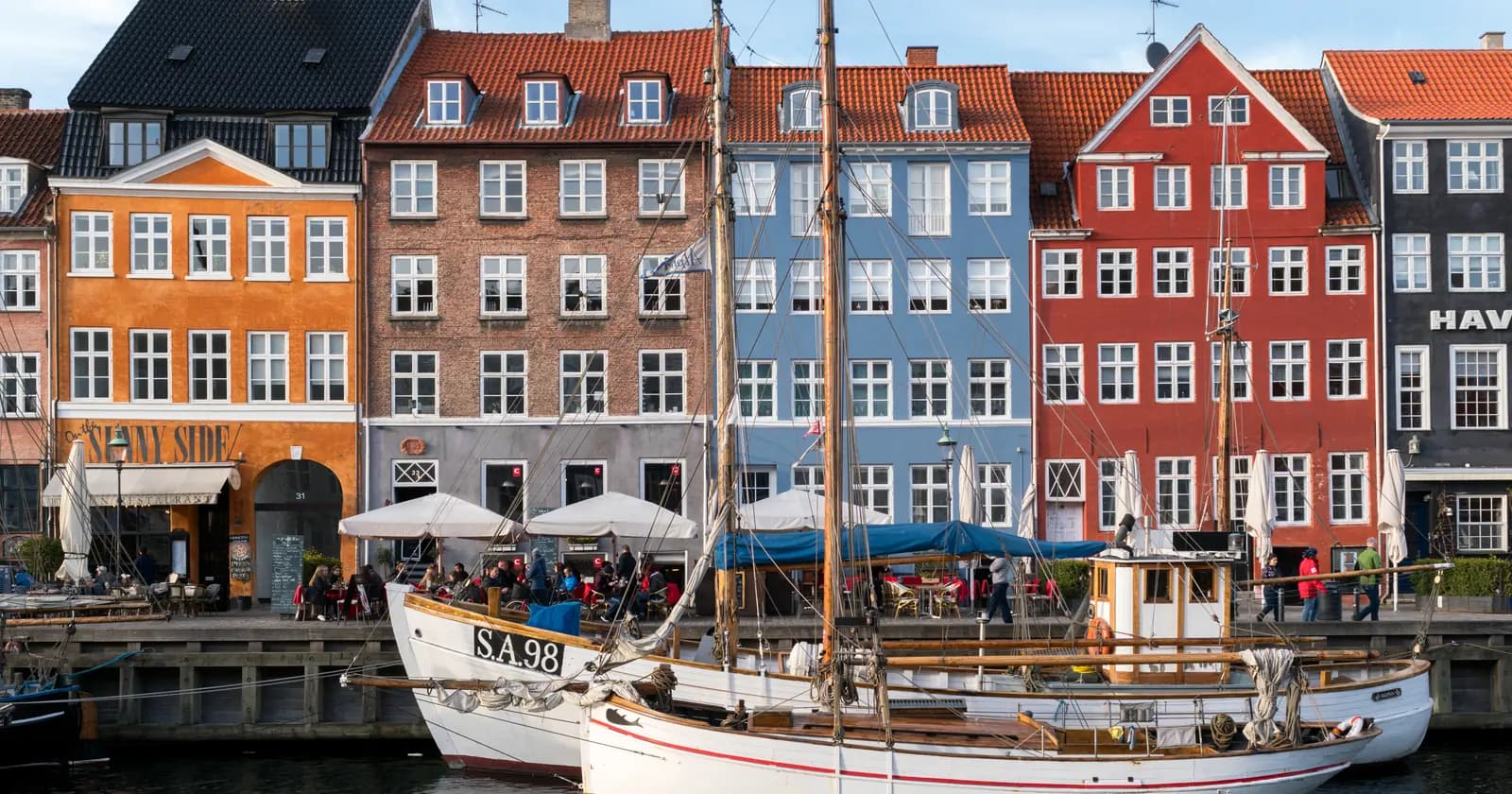
Start at Nyhavn, choose a side of the harbour, and finish somewhere with a useful journey home. That simple plan makes a waterfront walk easier to enjoy: you can linger when something catches your eye without committing to walking the entire way back.
The two routes below use sections of Visit Copenhagen's Harbour Circle, a 13-kilometre circuit. They are map-based suggestions rather than accounts of walks we have personally tested. Open the official map for the detailed quayside turns and check local signs for diversions.
Choose your afternoon
| If you would like… | Choose… | Plan the finish at… |
|---|---|---|
| Bridges, canals and the Christianshavn waterfront | The east-bank route | Islands Brygge waterfront, then its inland Metro station |
| Modern architecture and an indoor stop | The city-side route | Fisketorvet, then Havneholmen Metro |
| A shorter outing | Either route with an early exit | Christianshavn station or the Black Diamond/BLOX area |
Pick one route, not both, if you want time for food, photographs or an exhibition. The walk is free; transport and any indoor admission are separate choices.
Route one: across to Christianshavn
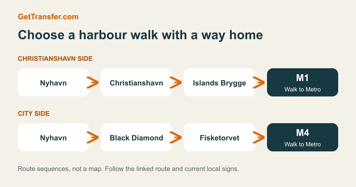
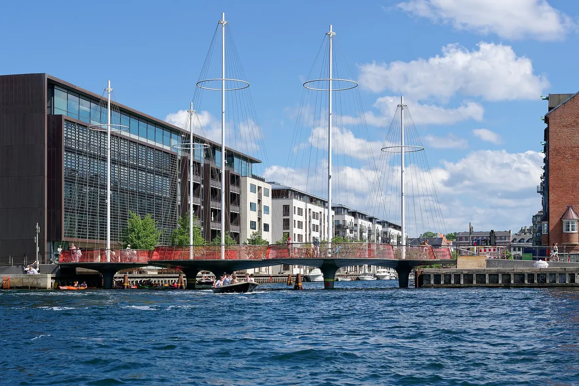
Save this sequence: Nyhavn → Inderhavnsbroen → Christianshavn waterfront → Knippelsbro → Cirkelbroen → Islands Brygge.
From the harbour end of Nyhavn, cross Inderhavnsbroen using the pedestrian side. Broens Gadekøkken is a useful landmark on the opposite bank. Follow the mapped waterfront passages through Christianshavn towards Knippelsbro. Stay on the Christianshavn bank rather than crossing Knippelsbro back to the city side, then continue south over Cirkelbroen towards Islands Brygge.
The pleasure of choosing this bank is the change of scale: the main harbour, the bridge approaches and the smaller canal crossing give you several different viewpoints within one outing. Use the route line rather than assuming that a continuous straight path follows the water everywhere.
Your early exit: at Torvegade, head towards Christianshavn Metro if you would like to stop. Decide here before continuing farther south.
Your normal finish: leave the waterfront near the harbour baths and head inland to Islands Brygge station. The station is on M1; the Metro operator lists the baths as about a 12-minute walk away. For Kongens Nytorv, take the train towards Vanløse and follow the live signs. Islands Brygge station information.
Route two: architecture along the city bank
Save this sequence: Nyhavn → Havnegade → Black Diamond → BLOX → Kalvebod Brygge → Fisketorvet.
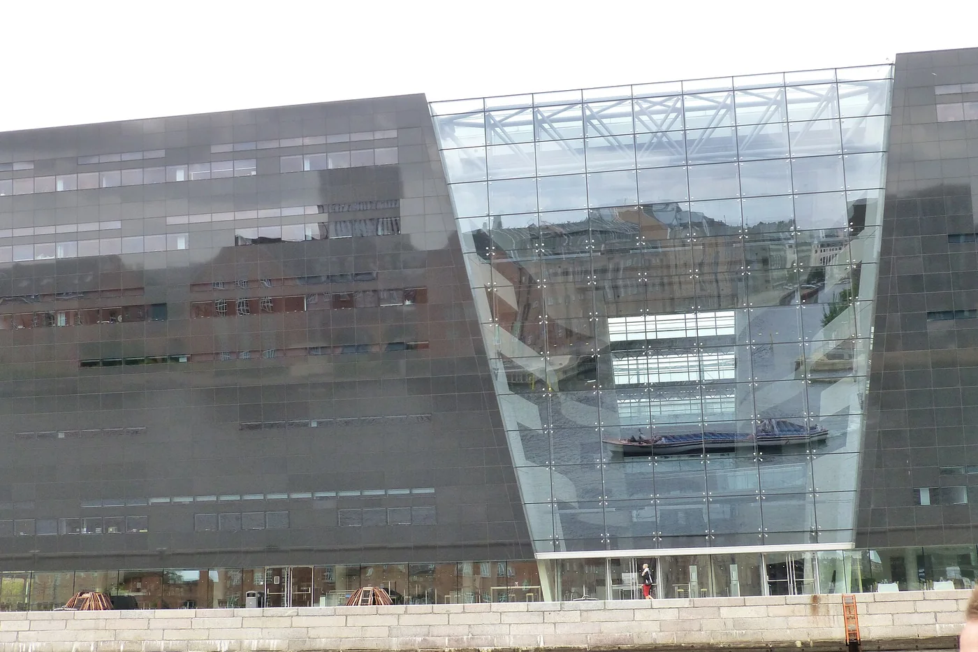
Stay on the Nyhavn side of the harbour. Head south along Havnegade, follow the mapped passage around Knippelsbro and continue to the Black Diamond. From there, BLOX provides a natural decision point: continue outside or make the Danish Architecture Center your destination.
Follow the pedestrian waterfront south towards Fisketorvet. The contrast between large waterfront buildings and the spaces beside the water is the reason to take this route slowly. Around the Bicycle Snake, stay on the pedestrian route: the elevated deck is for bicycles.
At Fisketorvet, follow signs to Havneholmen station on M4. The operator's station guide helps locate the entrance; the Metro is not beside every waterfront viewpoint. A city-bound train towards Orientkaj serves Kongens Nytorv.
Let the weather set the length
For an afternoon with uncertain weather, choose the city bank and check the Danish Architecture Center's visitor information before setting off. An indoor visit needs its own opening-time and ticket check. It is perfectly reasonable to finish there rather than treating Fisketorvet as a target you must reach.
For transport spending, count the trips you will actually make. A return Metro journey after a long walk does not automatically justify a day pass. If you also need airport and several city journeys, compare the City Pass options with individual tickets.
Arrange luggage storage or the airport journey separately so that sightseeing stays light. If your group needs a car for that part of the day, compare GetTransfer offers using the hotel and airport addresses, all passengers and all bags.
Route and station sources checked 18 September 2026. Follow local signs for temporary works and diversions; these routes have not been assessed for accessibility.